West Carleton
West
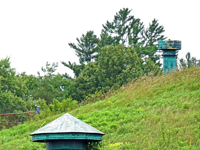
Fast Facts
- Population: 22,929 (City of Ottawa Neighbourhood Study (sum of the six combined boundaries))
- Size: 716.51 km² (Computed from the combined City of Ottawa Neighbourhood Study boundary polygons)
- Distance from Parliament Hill: About 35.4 km west (straight-line distance, to the area's geographic centre)
Overview
West Carleton is a large, mostly rural area in far west Ottawa made up of the villages of Carp, Dunrobin, Constance Bay, Fitzroy Harbour, Corkery and Kinburn. Formed as a township in 1974 from the merger of Torbolton, Fitzroy and Huntley townships, it was at the time the largest municipality in Ontario by area, and became part of the City of Ottawa in the 2001 amalgamation.
Boundaries
The City of Ottawa Neighbourhood Study covers this large rural area with six separate boundaries, merged here, spanning from Constance Bay and Fitzroy Harbour along the Ottawa River in the north to Carp, Corkery and Kinburn further south, with Dunrobin between them.
Map
History
West Carleton Township was created in 1974 by merging Torbolton, Fitzroy and Huntley townships, making it, at the time, the largest municipality in Ontario by area.
Carp grew from a small mid-19th-century settlement into the area's commercial centre; the annual Carp Fair began in 1863 and continues today at the Carp Fairgrounds. Corkery was settled in the early 1800s by around 100 Irish families from County Cork, sometimes called the Peter Robinson settlers, whose parish church, St. Michael's, was consecrated in 1865.
Fitzroy Harbour developed as a post village by 1866 at the head of navigation on Chats Lake along the Ottawa River, while Constance Bay grew from a riverside cottage community into a year-round residential area. Kinburn took its name in 1855 from the Crimean War fortress of the same name on Ukraine's Dnieper River.
West Carleton Township amalgamated into the City of Ottawa in 2001 along with nine other municipalities. Dwight Eastman, the township's last mayor from 1995 to 2001, went on to represent West Carleton on Ottawa city council.
Claim to Fame
West Carleton's defining feature is the Diefenbunker, Canada's Cold War Museum, a former underground Emergency Government Headquarters built in the 1950s near Carp to shelter federal leaders in the event of nuclear war, now a National Historic Site open to the public.
Notable People
- Dwight Eastman — Last mayor of the independent West Carleton Township (1995-2001), who went on to represent the area on Ottawa city council.
Surrounding Neighbourhoods
Kanata and Stittsville lie southeast, and the Ottawa River forms the area's northern boundary, across from Quebec.
New Developments
- —
- —
- —
Architecture
Carp and the area's other villages retain a mix of 19th-century village-core buildings alongside newer rural residential development on large lots, reflecting West Carleton's continued agricultural and low-density rural character.
Restaurants
- Twin Muses — Wine bar and restaurant
Wine bar and restaurant at 3740 Carp Road, part of Kin Vineyards.
Visit website - Alice's Village Café — Café
Café at 3773 Carp Road, a community gathering spot in the village of Carp.
Visit website - Lighthouse Restaurant and Grocery — Restaurant and grocery store
Combined restaurant and grocery store at 655 Bayview Drive in Constance Bay.
Bars
- The Swan at Carp — Pub
Pub at 108 Falldown Lane, housed in a former Presbyterian manse built in 1902; operating as a pub since 2000.
Visit website - Ridge Rock Brewing Company — Brewpub
Brewpub and eatery at 421 Donald B. Munro Drive, in a historic 1893 building in Carp.
Visit website
Grocery Stores
- Dunrobin Meat and Grocery — Grocery store
Deli, bakery and grocery store at 2808 Dunrobin Road, also serving as an LCBO and Beer Store agency outlet.
- Constance Bay General Store — Grocery store
General store at 115 Constance Bay Road.
Pedestrian and Cycling
West Carleton is a rural, low-density area with limited sidewalks outside village cores; Fitzroy Provincial Park and the Constance Bay area offer walking trails along the Ottawa River, but the area is largely car-dependent.
Schools
- West Carleton Secondary School — Ottawa-Carleton District School Board
Secondary school at 3088 Dunrobin Road in Dunrobin, serving grades 9 to 12.
Visit website - Huntley Centennial Public School — Ottawa-Carleton District School Board
Elementary school at 118 Langstaff Drive in the village of Carp, serving junior kindergarten to grade 8.
Visit website - St. Michael, Fitzroy — Ottawa Catholic School Board
Catholic elementary school at 159 Kedey Street in Fitzroy Harbour.
Visit website
Amenities
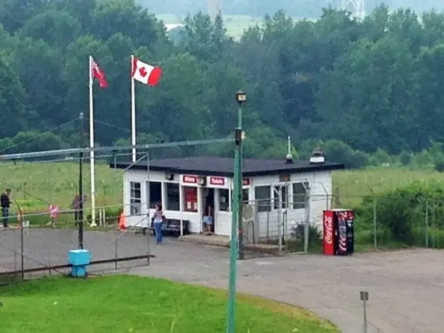 Diefenbunker: Canada's Cold War Museum — Museum
Former underground Emergency Government Headquarters at 3929 Carp Road, built during the Cold War and now a National Historic Site open to the public.
Photo: Ross Dunn, CC BY-SA 2.0, via Wikimedia CommonsVisit website- Carp Fairgrounds — Fairgrounds
Fairgrounds at 3790 Carp Road, home to the annual Carp Fair since 1863.
Visit website  Fitzroy Provincial Park — Provincial park
Provincial park at 5201 Canon Smith Drive near Fitzroy Harbour, with campgrounds, a boat launch and a day-use area along the Ottawa River.
Photo: Ross Dunn, CC BY-SA 2.0, via Wikimedia CommonsVisit website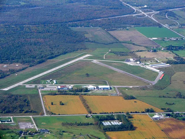 Ottawa / Carp Airport — Airport
General aviation airport (CYRP) at 1500 Thomas Argue Road.
Photo: Ahunt, public domain, via Wikimedia CommonsVisit website
Transit Options
OC Transpo service in West Carleton is limited, concentrated on a small number of routes serving Carp and Dunrobin; most residents rely on cars. Check octranspo.com for current route numbers, since the network is periodically redesigned.
Nearby on This Site
No listings yet in this area.
Official Information
Last verified: August 27, 2026