Wellington West–Hintonburg–Mechanicsville
West

Fast Facts
- Population: 14,707 (City of Ottawa Neighbourhood Study (sum of the two combined boundaries))
- Size: 4.3 km² (Computed from the combined City of Ottawa Neighbourhood Study boundary polygons)
- Distance from Parliament Hill: About 3.4 km west (straight-line distance)
Overview
Wellington West–Hintonburg–Mechanicsville is an inner-west Ottawa neighbourhood combining three formerly separate communities along the Wellington Street West corridor. Hintonburg, named for landholder Joseph Hinton, was annexed by Ottawa in 1907; working-class, railway-era Mechanicsville was annexed in 1911; and Wellington Village grew up around Island Park Drive, a prestige parkway opened in 1923. Since the Wellington West Business Improvement Area formed in 2008, the corridor has become one of Ottawa's most walkable retail and dining strips.
Boundaries
The City of Ottawa Neighbourhood Study covers this area with two separate boundaries, merged here: Hintonburg-Mechanicsville to the east, running along Wellington Street West and Somerset Street West toward the Ottawa River, and Island Park-Wellington Village to the west, extending to Island Park Drive.
Map
History
Hintonburg took its name from Joseph Hinton, a Nepean Township landholder and postmaster; the hamlet adopted the name in 1879, incorporated as a village in 1893, and was annexed by the City of Ottawa in 1907, when the section of Richmond Road running through it was renamed Wellington Street.
Mechanicsville was settled from 1872 and named for the railway mechanics and other working-class families who lived there after the Canada Central Railway's 1870 line from Bayview; by 1881 it held 34 French-Canadian mill and rail families. It was annexed by Ottawa in 1911, and large riverside sections were expropriated and demolished in the 1950s and 1960s to build the National Capital Commission's Kichi Zibi Mikan parkway.
Island Park Drive, originally called the West End Driveway, opened in 1923 as a prestige parkway designed by the Federal District Commission, predating the 1927 Champlain Bridge and shaping the character of the surrounding Wellington Village.
The two halves of Wellington Street were severed in the 1960s by the expropriation of LeBreton Flats. The Wellington West Business Improvement Area, formed in 2008, reunited Hintonburg and Wellington Village along a single commercial corridor that today includes more than 500 businesses.
Claim to Fame
Wellington West–Hintonburg–Mechanicsville's defining feature is the Wellington Street West retail and dining corridor, revitalized since the Wellington West Business Improvement Area formed in 2008 into one of Ottawa's most walkable independent shopping strips.
Surrounding Neighbourhoods
Civic Hospital-McKellar Heights and Centretown lie south and east, Westboro lies west, and the Ottawa River lies north.
New Developments
- —
- —
Architecture
Hintonburg and Mechanicsville retain modest late-19th and early-20th-century worker housing alongside newer infill and condominium conversions, while Wellington Village near Island Park Drive includes larger early-20th-century homes reflecting its origin as a prestige parkway community.
Restaurants
- Masakali Indian Cuisine — Indian
Indian restaurant at 1111 Wellington Street West.
Visit website 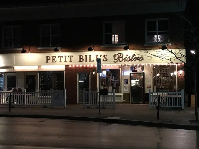 Petit Bill's Bistro — French bistro
French bistro at 1293 Wellington Street West, at the corner of Wellington and Smirle.
Photo: Ross Dunn, CC BY-SA 2.0, via Wikimedia CommonsVisit website- Stofa — Fine dining
Small ten-table fine-dining restaurant at 1356 Wellington Street West offering a regularly changing table d'hote menu.
Visit website
Bars
- Bar Lupulus — Craft beer and natural wine bar
Craft beer and natural wine bar at 1242 Wellington Street West, with rotating taps and a backyard patio.
Visit website - The Hintonburg Public House — Gastropub
Gastropub at 1020 Wellington Street West serving scratch-made pub fare.
Visit website - Carleton Tavern — Tavern
Historic neighbourhood tavern at 223 Armstrong Street, operating since 1935.
Visit website - The Wellington Gastropub — Gastropub
Gastropub at 1325 Wellington Street West.
Visit website
Grocery Stores
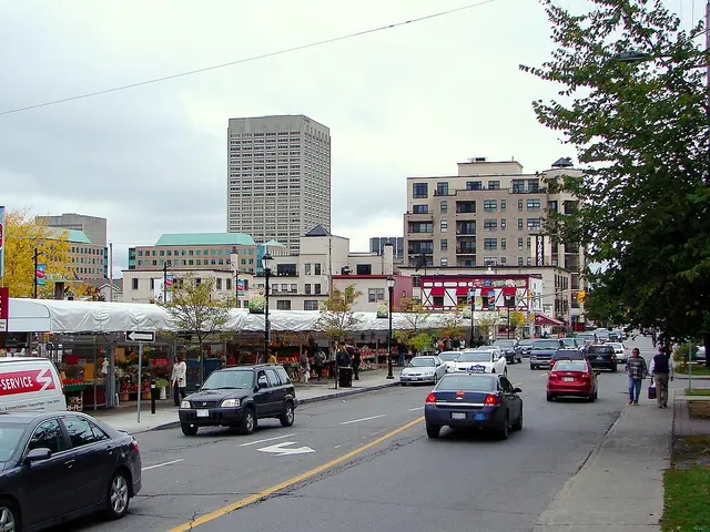 Parkdale Public Market — Farmers' market
Outdoor farmers' market at 366 Parkdale Avenue, operating since 1924 and among Ottawa's oldest markets.
Photo: P199, CC BY-SA 3.0, via Wikimedia CommonsVisit website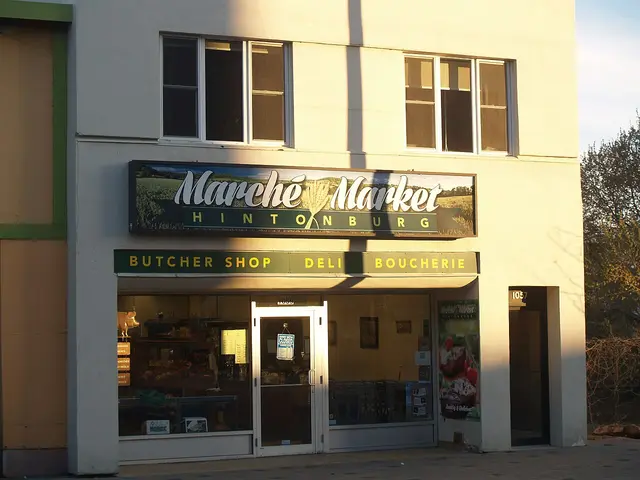 Hintonburg Market — Grocery store
Grocery store near 1059 Wellington Street West, between Parkdale Avenue and Preston Street.
Photo: Ross Dunn, CC BY-SA 2.0, via Wikimedia CommonsVisit website
Pedestrian and Cycling
Wellington Street West is a well-known walkable retail strip, and the Kichi Zibi Mikan parkway pathway along the Ottawa River provides a car-free cycling and walking route through the northern edge of the area.
Schools
 Devonshire Community Public School — Ottawa-Carleton District School Board
Elementary school at 100 Breezehill Avenue North, offering Early French Immersion from kindergarten.
Photo: Cantons-de-l'Est, CC BY-SA 4.0, via Wikimedia CommonsVisit website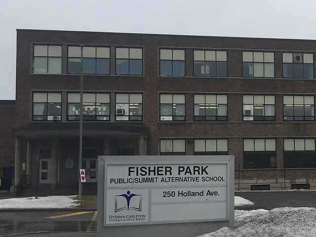 Fisher Park/Summit Alternative Public School — Ottawa-Carleton District School Board
Intermediate school at 250 Holland Avenue, sharing its building with the Fisher Park Community Centre.
Photo: Demetri1968, CC BY-SA 3.0, via Wikimedia CommonsVisit website- St. George School — Ottawa Catholic School Board
Catholic elementary school at 130 Keyworth Avenue, serving junior kindergarten to grade 6.
Visit website
Amenities
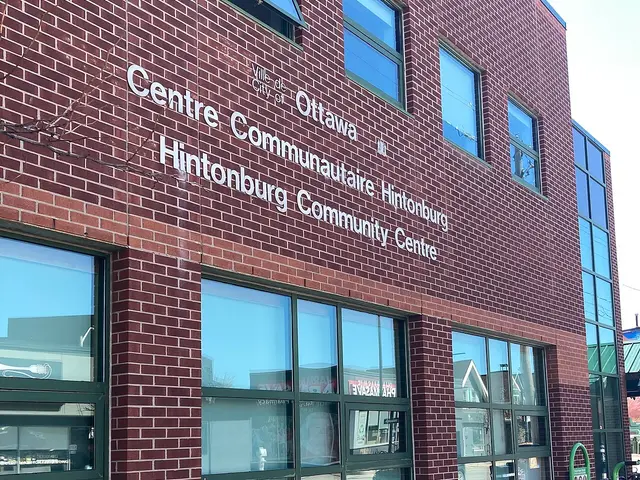 Hintonburg Community Centre — Community centre
Community centre at 1064 Wellington Street West.
Photo: Ross Dunn, CC BY-SA 2.0, via Wikimedia CommonsVisit website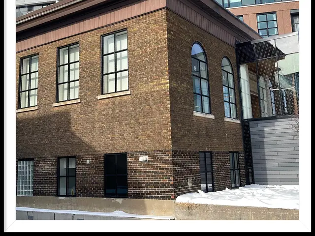 Ottawa Public Library, Rosemount Branch — Library
Library branch at 18 Rosemount Avenue, built in 1918 as Ottawa's only surviving Carnegie library and expanded in 1932; renovated in 2021.
Photo: Ross Dunn, CC BY-SA 2.0, via Wikimedia CommonsVisit website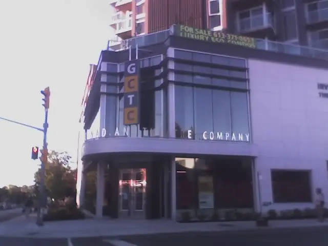 Great Canadian Theatre Company — Theatre
Theatre company at 1233 Wellington Street West, founded in 1975, with a 262-seat main stage and a flexible black box studio.
Photo: Dl2000, CC BY 3.0, via Wikimedia CommonsVisit website
Transit Options
OC Transpo bus routes run along Wellington Street West, and the Bayview O-Train Trillium Line station is nearby just east of this area. Check octranspo.com for current route numbers, since the network is periodically redesigned.
Nearby on This Site
No listings yet in this area.
Official Information
Last verified: August 27, 2026